The start of another long and exhausting hike.
|
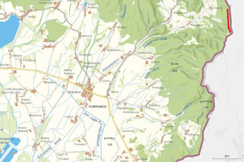
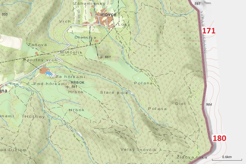
Map 171-180 East and south east of Inovce.
|
|
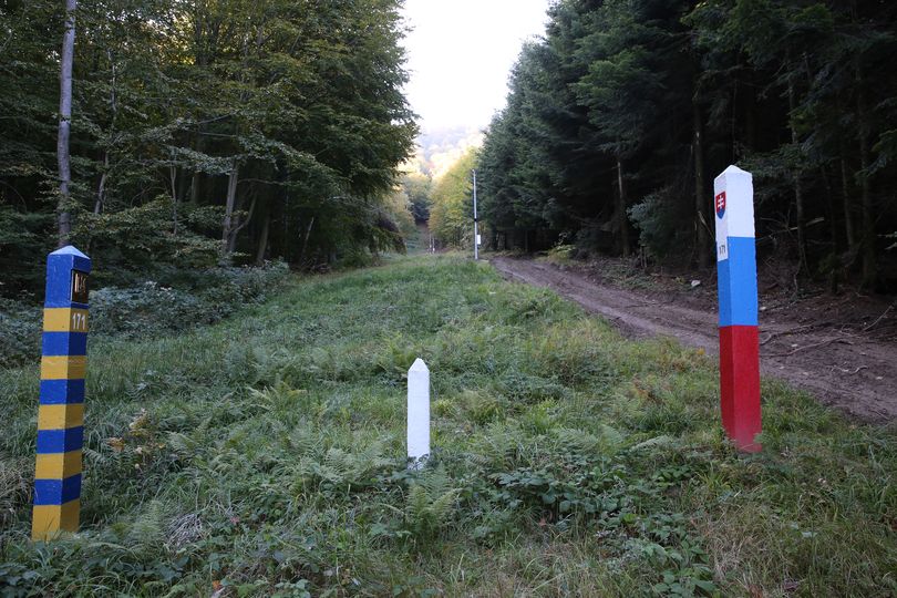
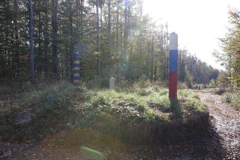
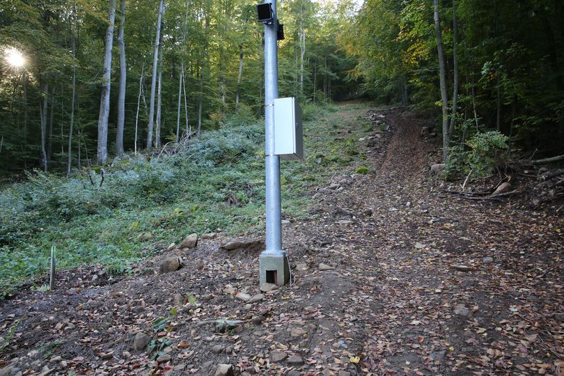
Border marker 171 A long climb is waiting for us. The border runs over the top of the mountain Holica. The camera on the second picture is the last one here so far. It looks rather new.
|
|
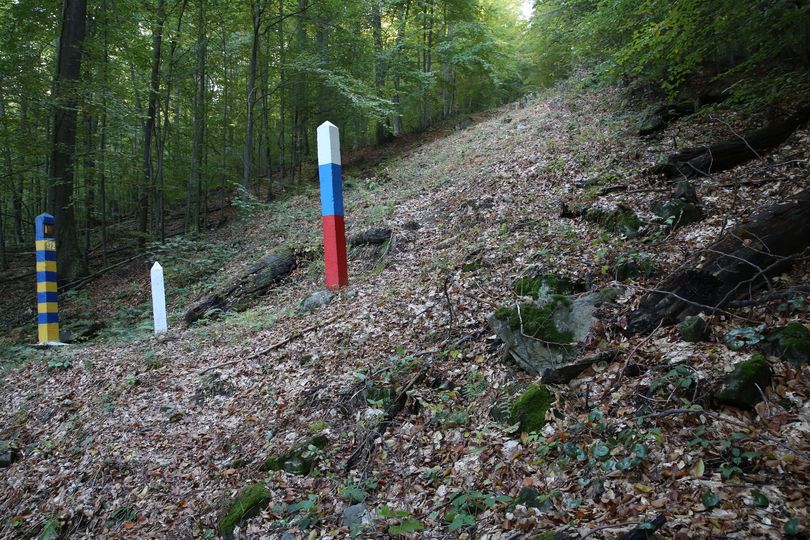
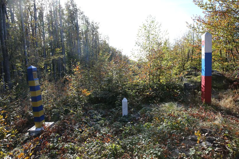
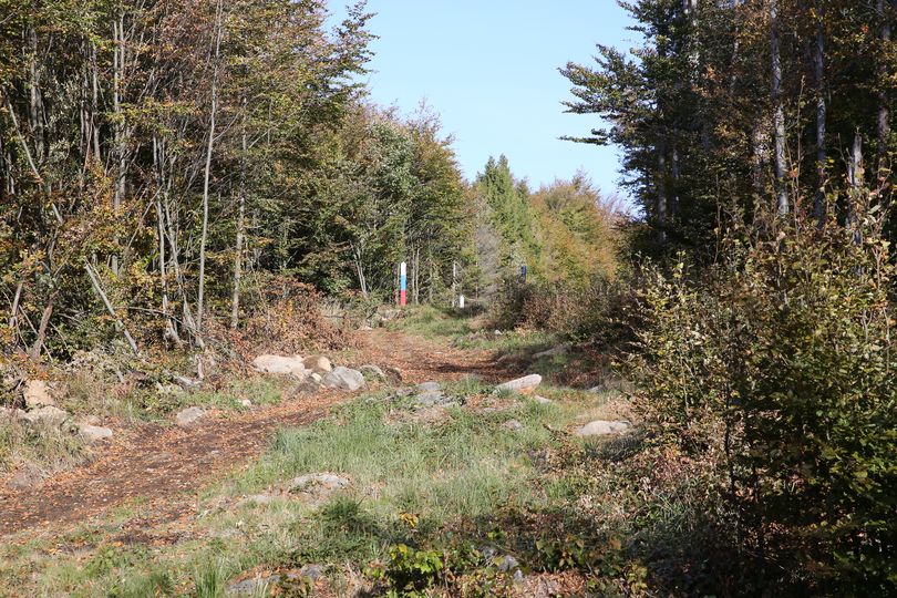
Border marker 172 We are halfway up. The total ascent between 171 and 173 is about 350 meters. It was very difficult and exhausting but we took our time and were careful.
|
|
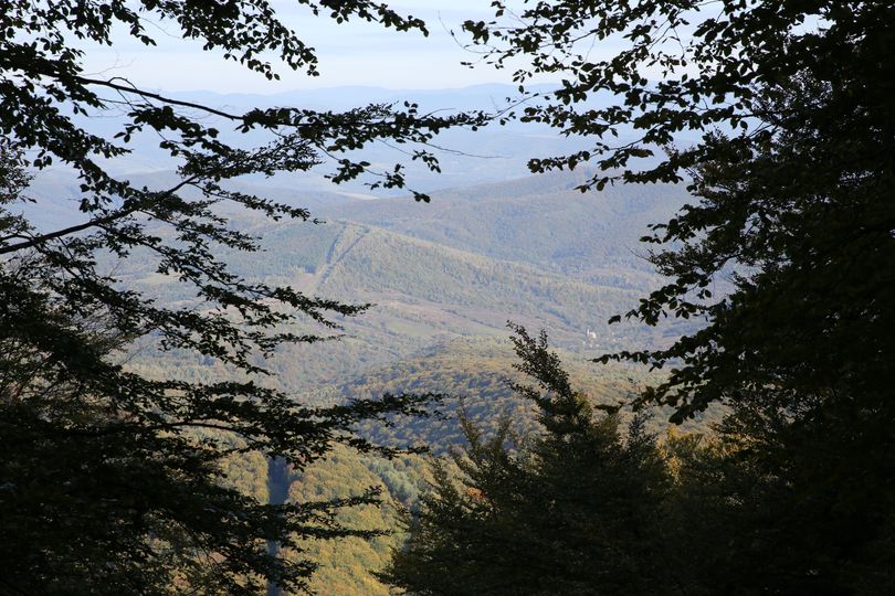
View from Holica Once we were up on the top of the mountain Holica (984 meters) we had a beautiful view over the border that we followed the day before. Slovakia on the left, Ukraine on the right side of the cut in the forest. On the right in the valley you can detect the church of the Ukrainian village Zavosyna.
|
|
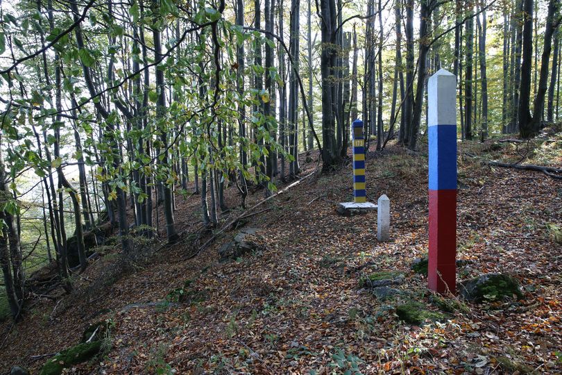
Border marker 173 Finally we were at the top at BM 173.
|
|
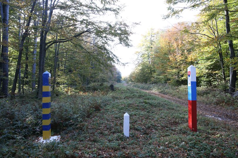
Border marker 174 the border follows more or less the peak of the hill. No cameras or (visible) activity here.
|
|
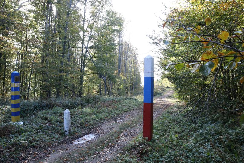
Border marker 175 One small and narrow path along the border which sometimes even runs between the border and the Slovakian border marker.
|
|
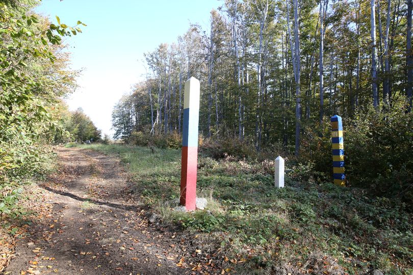
Border marker 176 We follow the top of the mountain which is flat.
|
|
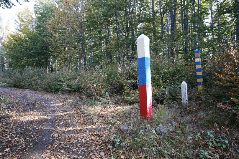
Border marker 177
|
|
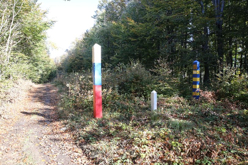
Border marker 178
|
|
Border marker 179
|
|
Border marker 180 Again a beautiful and sunny day, although it was pretty cold in the high hills.
|
| << | 101-110 | 111-120 | 121-130 | 131-140 | 141-150 | 151-160 | 161-170 | 171-180 | 181-190 | 191-200 | 201-300 | 301-375 | HU-UA | RO-UA | MD-UA |