When I was here in July 2017 these border markers were not accessable due to the high water in Lake Pskov. Even the Border Guards didn't patrol here. Only BM 518 I could picture.
|
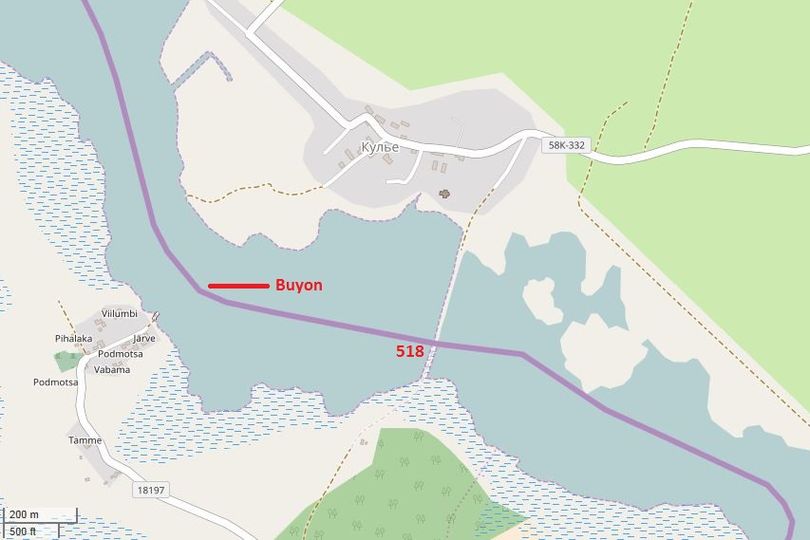
Map 518
|
|
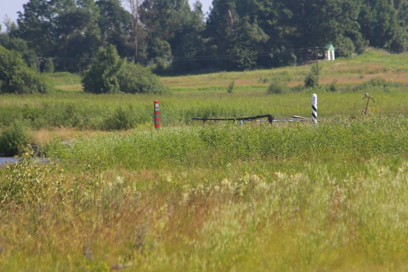
Border marker 518 In the 1970s when Estonia had close relations to the Sovjet Union and Podmotsa was connected to Kulje, a small bridge between Potmodsa and Kulje was built. The Russian border marker 218 was situated close to the bridge. In spring 2017 the Estonian copy was erected on the other side of the bridge. The bridge itself was used until the 1990s when Estonia regained its independency. The area is not accessable, the road to the bridge is closed, on the Estonian side there is a huge watch- and communication tower. I took this picture from about 300 meters from the bridge.
|
|
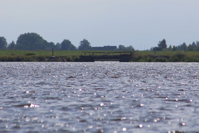
Border marker 518 From the village Potmodsa you can also see the border markers of both side of the old bridge. Distance to the bridge about 600 meters.
|
|
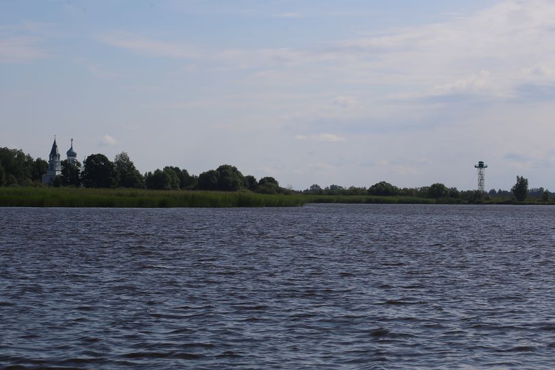
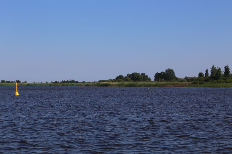
Podmotsa Podmotsa also gives a view of the Russian side of the Pskov Lake. From here you see a watch tower. And on the left a church.
|
|
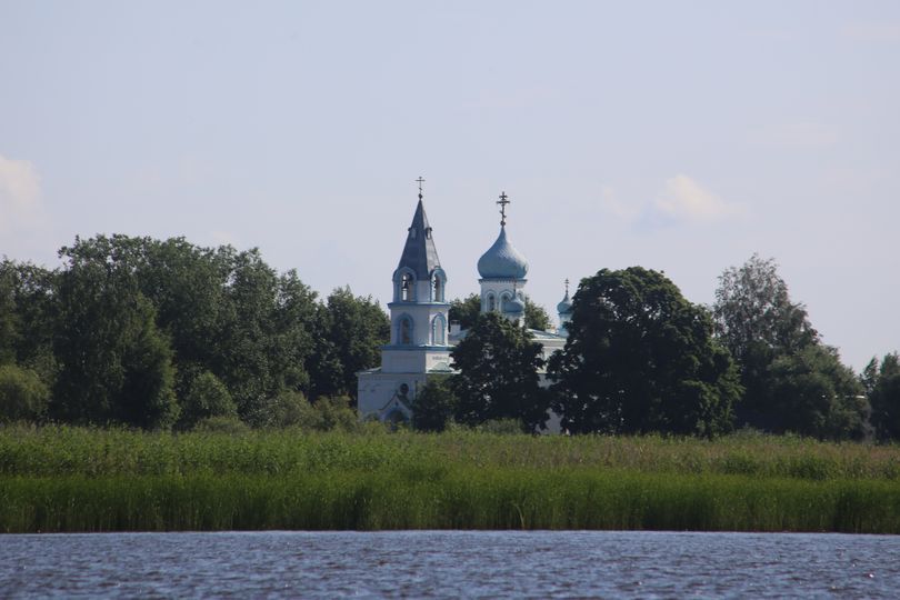
Kulj chruch A view from the water side of Podmotsa at the Kulj church, which was built in 1917. In former days it was also used by the habitants of Podmotsa, which was a Russia oriented village. Nowadays the village is almost empty...
|
|
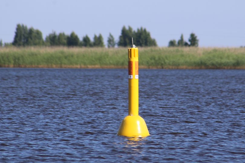
Buoy As you see on the map, the border makes some angles in the water. The angles are indicated by yellow buoys. These buoys are also used on the lake border betweeen EE and RU. So, up till Narva-Jőesuu only these buoys are used.
|
|
Buoy One more buoy. |

| << | 501-510 | 511-520 | 521-530 | 531-538 | 539-550 | 551-560 | 561-570 | 571-580 | 581-590 | 591-600 | >> |